The Department of Geoinformatics fully covers the needs of geodetic survey during archaeological excavation and the digital processing of archaeological documentation. A total station, GNNES rover with corrections, and a leveling device are available for these services. We provide geodetic surveying simultaneously with the course of excavation. Based on a prior agreement, it is possible to focus on geodesic and altimetric data. The measured geodetic data are subsequently processed into a form suitable for further use.
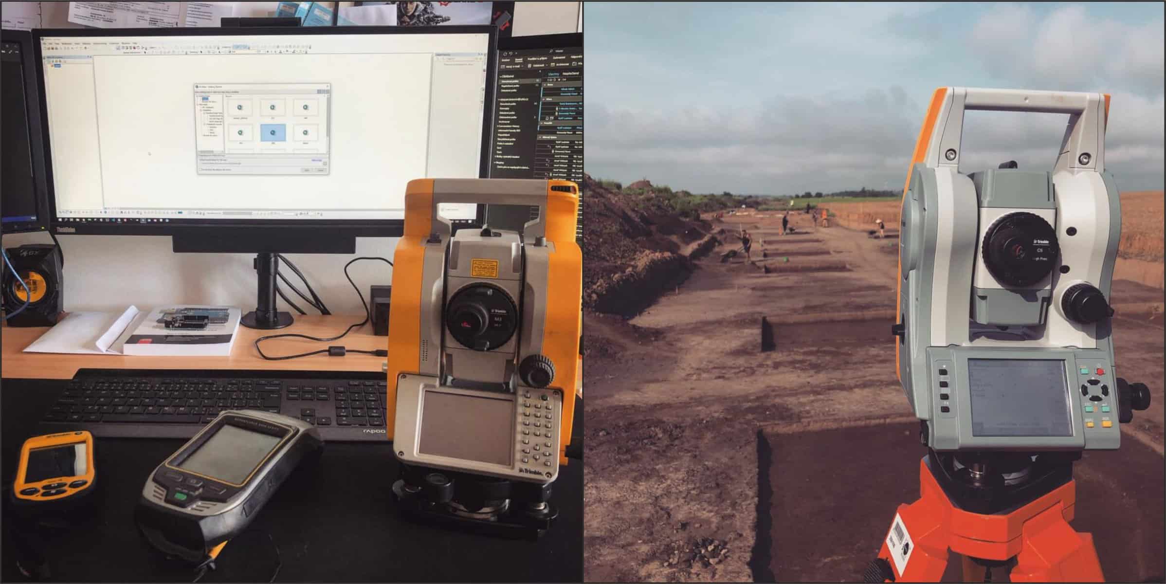
Instrumentation for geodetic surveying.
The time required and the associated price are individual according to the given situation.
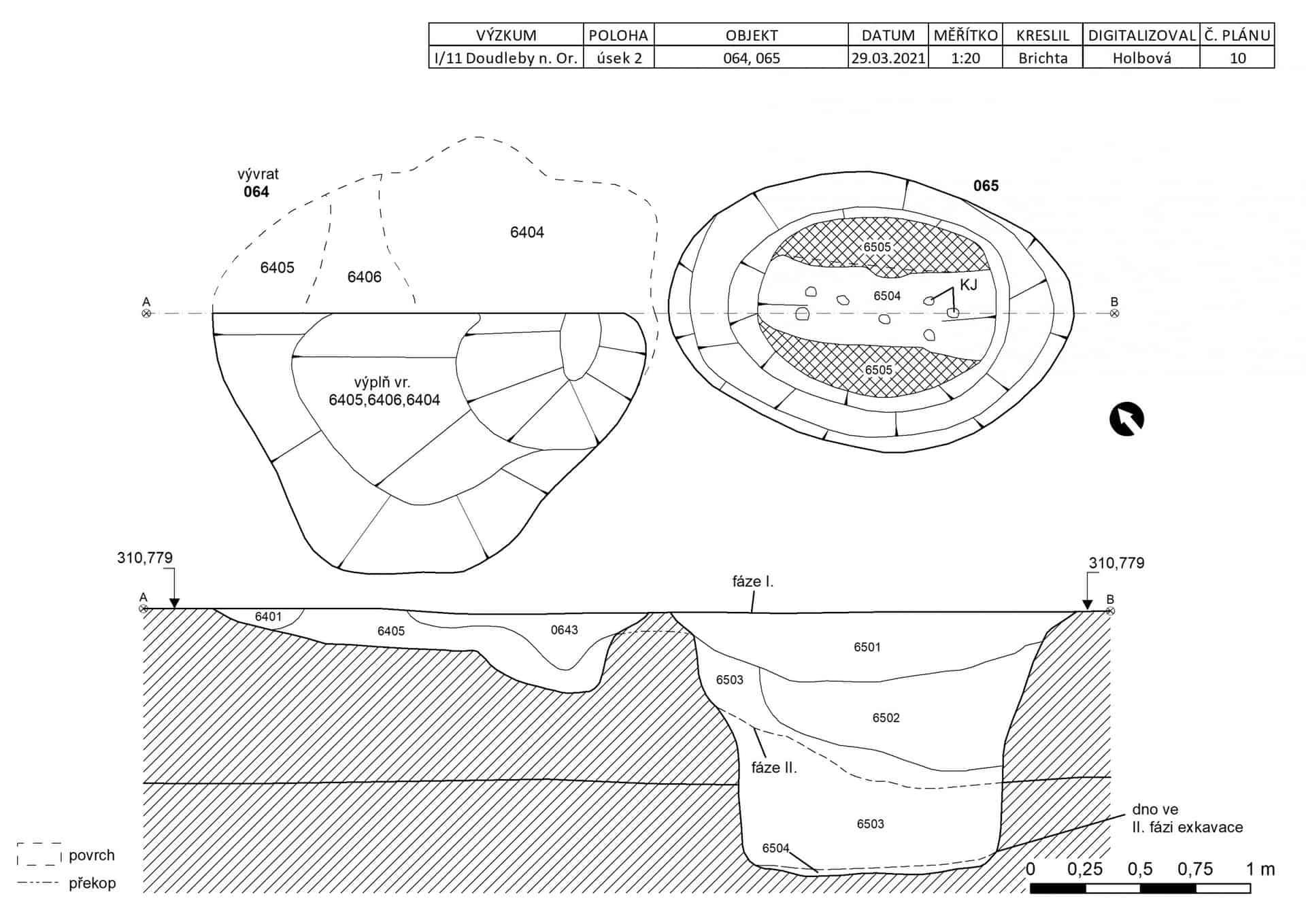
The department’s equipment enables scanning of documents, their georeferencing and vectorization, linking of data to geodatabases, preparation of printouts, and documentation using UAV images. The data from these methods are subsequently processed and can also be linked to the prepress output.

Archaeological documentation and its complexity and time requirement may vary; the time given below is only indicative.
Time required to process the documentation on individual examples:
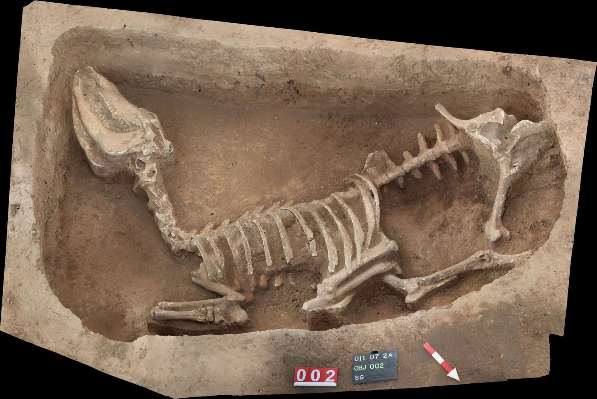
Digitalization of a grave and creating a print table – 5 hours.
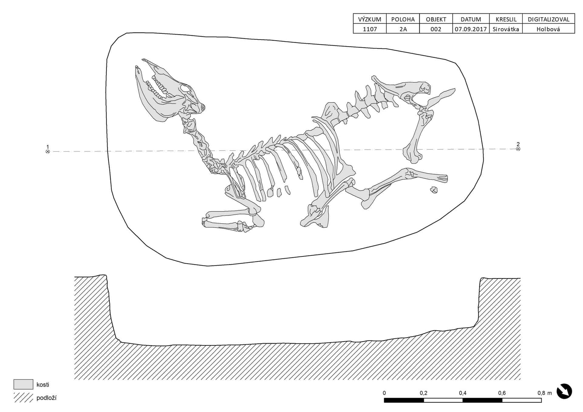
Digitalization of a feature from the residential context (pit) and creating a print table – 2 hours.
Creation of overall plans for a medium-sized research of approx. 200 objects (including the creation of individual sheets, insertion of various map materials, etc.) – 20 hours.
We also provide 3D digitalization of archaeological objects using image correlation. We provide the entire process from taking photos to final processing. As with the documentation above, the creation of a 3D model is individual, and correspondingly, time requirements are different.


